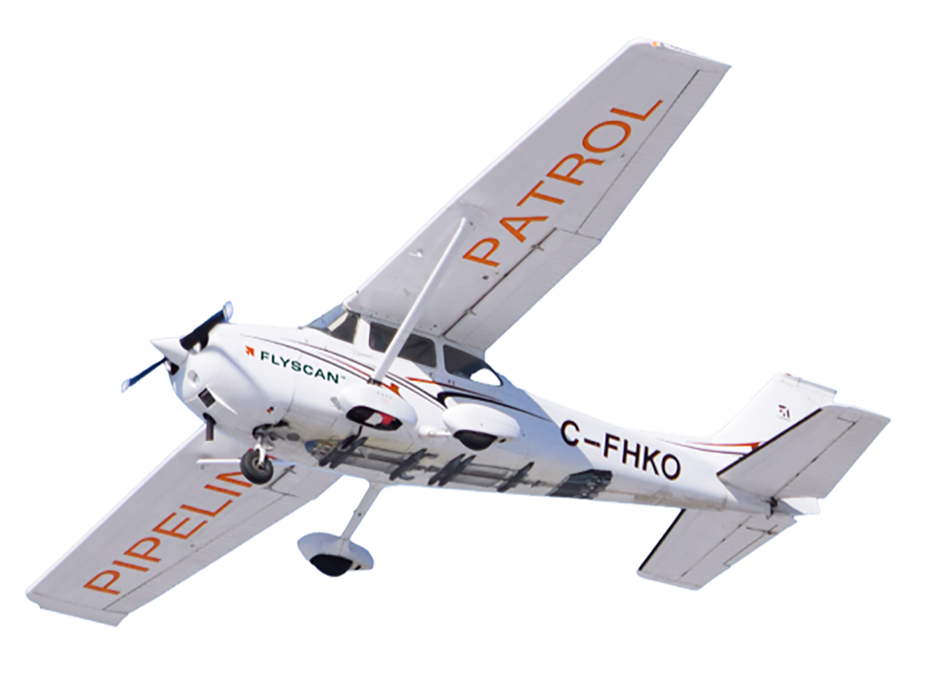
Geohazards
Mission-critical data,
for sound
decision-making.
Request a demo
Vegetation
management
Our photogrammetry technology allows us to quickly identify natural features that can threaten the operation and maintenance of your pipelines, such as:
- vegetation cover that visually obstructs aerial surveys;
- shrubbery and trees;
- a right-of-way management tool;
- maintenance planning.
Advantages and benefits:
- Quickly identify areas requiring maintenance.
- Deploy teams on the ground only where needed to minimize travel and costs.
- See obstructions for the entire pipeline at a glance.
Vegetation
management

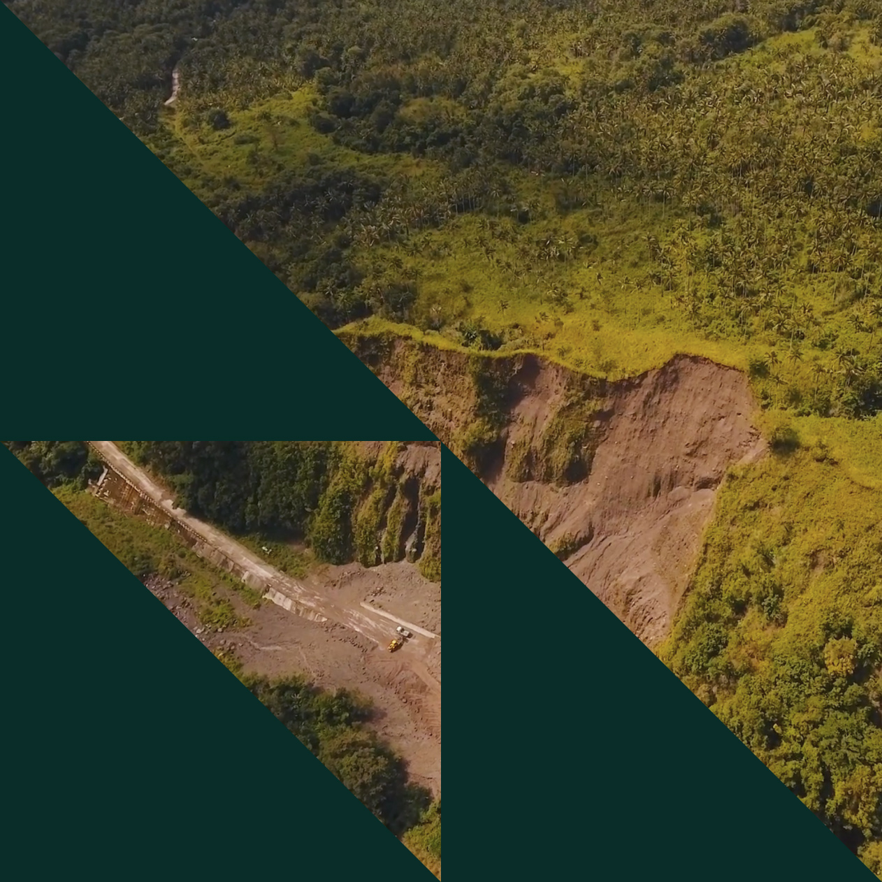
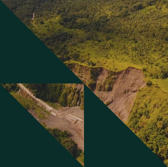
Geohazards
evaluation
Spot-check monitoring is not always enough!
Geohazards, hydrotechnical hazards and erosion hazards have two things in common:
- they can be observed at different scales (from less than a foot to several hundred feet);
- they can develop over short or long periods of time.
Advantages and benefits:
- Cover more than 1,500 feet in width and hundreds of miles in length, in a single day.
- Detect elevation changes over time.
- Assess terrain stability and erosion.
Geohazards
evaluation
Hydrotechnics
and erosion
Water, like geotechnical processes, can have an impact on pipeline routes and right‑of‑ways.
Our technology easily reveals:
- fine channel deviations;
- bank erosion;
- seasonal erosion.
Advantages and benefits:
- Detect changes in topography and watercourses.
- Inspect infrastructure after catastrophic events.
- Reveal river clogging by landslides or debris.
Hydrotechnics
and erosion

Depth-of-cover
Given all the natural processes and human actions that can occur in the vicinity of a right‑of‑way, the thickness of the soil covering a pipeline is exposed to a number of risks.
We provide you with accurate aerial topographic surveys that include this critical data.
Advantages and benefits:
- Detect the depth of pipeline coverage over several miles of detailed imagery with a resolution of 6 inches.
- Assess changes over time.
- Identify problem areas.
- Save time and money.
Depth-of-cover

Change and
anomaly mapping
We automatically monitor changes in coverage and topography, such as:
- brush clearing;
- infrastructure damage;
- construction or demolition of building;
- natural disasters (fire, flood, etc.).
Advantages and benefits:
- Keep track of changes.
- Anticipate future changes.
Change and
anomaly mapping